 In Norfolk, Virginia, officials are taking action to reduce their city’s vulnerability to flood risks.
Flooding in Norfolk does not just happen during major storms. It can happen when the sun is shining, if the tide is high or the winds are right.
A participant in the Rockefeller Foundation’s 100 Resilient Cities program, the city adopted a resilience city strategy in 2015. In 2016, Norfolk prepared a forward-looking plan, which responds to sea level rise expected in 2100, and includes principles to guide the development of a new comprehensive plan during 2019-2020.
To help reach their goals, city planners collaborated with Dr. Phil Berke, Jaimie Masterson, American Institute of Certified Planners, and their team from the Institute of Sustainable Communities at Texas A&M. As a project partner of the Department of Homeland Security (DHS) Coastal Resilience Center of Excellence (CRC), they are funded by the DHS Science and Technology Directorate (S&T). This research project led to the Plan Integration for Resilience Scorecard (PIRS), a novel planning approach that helps prevent people and investments from being in harm’s way, and ultimately save lives and resources.
This planning tool enables communities to effectively reduce their vulnerabilities to hazards across their network of plans – including transportation, parks, economic development, hazard mitigation, emergency management and comprehensive land use, explained Eleanore Hajian, S&T’s program manager for the CRC. The CRC is a consortium of more than 30 university, public and private sector partners from across the nation led by the University of North Carolina at Chapel Hill in partnership with Jackson State University in Jackson, Mississippi.
The Scorecard in Action
The research team and local planners worked together using PIRS to improve the integration of disaster mitigation across the community’s network of plans, so they can better work together to reduce vulnerabilities to hazards. This is especially important in regards to plans that guide decision-making for construction and development in hazardous areas.
Between December 2016 and September 2017, researchers worked with city staff to analyze a broad range of spatial data through geographic information systems mapping technology. They also conducted a spatial evaluation of local plans to identify and target the geographic areas most vulnerable to hazards.
 Researchers identified hazard zones and planning districts, analyzed how the two overlapped, and then scored those districts based on vulnerability. They used six of Norfolk’s city plans (e.g., comprehensive land use, emergency management, community development) to determine their level of integration, helping the city identify two low income neighborhoods that were at the greatest risk and allowed the city to focus project resources on those zones. Norfolk has adopted a diverse “network of plans” that have a guiding influence on land use and development decisions in areas exposed to coastal flooding and sea level rise. Among the 17 official plans adopted by the City, the local team identified six plans to be included in the study as they were considered to have the most significant influence on development decisions in the city.
“The Resilience Scorecard was a great tool to allow us to evaluate our existing plans and policies against the backdrop of resilience,” said George Homewood, interim director of development with the City of Norfolk. “Perhaps most revealing were not inconsistencies in our plans, but that we had not fully incorporated all our policies and actions aimed at resilience into our most important policy document, our comprehensive plan.”
Next Steps
Following Norfolk’s use of PIRS, the city amended their citywide comprehensive strategy to more fully incorporate their Hazard Mitigation Plan.
“As we kick off the drafting of our next comprehensive plan, we plan to revisit our scores from the Resilience Scorecard to better guide future development and investments that will maximize our opportunities to transform Norfolk into a resilient waterfront community,” Homewood said.
Dr. Berke and his team’s “spatial analysis” methodology considers that an area’s topography has to be studied in conjunction with the civic goals, community vulnerabilities (both physical and social), and current and proposed investments and development priorities.
Like a physician advising a patient about living a healthy lifestyle, Dr. Berke (a professor of Land Use and Environmental Planning) knows that saving people from disasters isn’t just about heroic measures in emergency situations. It is also about prevention.
“We figured out a way to communicate the risks inherent in certain localities, directly to the vested stakeholders,” Dr. Berke said. “With that clear picture, stakeholders can make informed decisions about communities, investments and their shared future.”
Since the Norfolk engagement, and being featured in one of FEMA’s PrepTalks, more communities across the nation have reached out to Dr. Berke and his team about starting their own PIRS pilots, including the town of Nashua, New Hampshire. Additionally, the City of Rockport, Texas, which is recovering from Hurricane Harvey, is applying the Scorecard in creating a new integrated comprehensive plan to guide long-term recovery.
“The groundbreaking work by Dr. Berke and Ms. Masterson’s team is a great example of the real-life impact our investments in science can make toward reducing our nation’s vulnerability to natural hazards,” said Hajian.
How It Works
 PIRS is user-friendly, and allows local practitioners (planners, emergency managers, engineers) to self-evaluate their community’s plans. The strategies can be precisely tailored to each community’s specific needs.
There are three phases within the scorecard process:
- Assemble all relevant community plans that guide development decisions in hazard areas by creating a digital map with overlapping layers where the plans are “stacked” one on top of the other.
- Evaluate and analyze the stacked map to identify geographic areas or populations that are most vulnerable.
- Score the different areas of the municipality based upon their level of hazard vulnerability and degree of integration of hazard mitigation methods.
“The genius of the Resilience Scorecard tool is that looking over the stacked overlays, one can easily see the areas that have been targeted for capital investment and redevelopment, but are unfortunately right in the crosshairs of severe repetitive loss from recurring flooding disasters,” Dr. Berke said.
By using the Scorecard, all the stakeholders can understand the big picture and see exactly how the existing risks impact their individual approaches, policies or plans for development.
For more information about this tool, contact universityprograms@hq.dhs.gov.
Captions
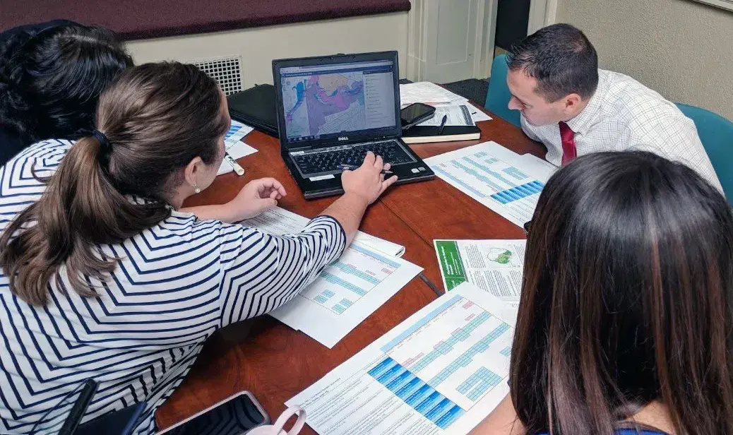
Photo A - Nashua, N.H., staff and community members deliberate during a Plan Integration for Resilience Scorecard (PIRS) workshop session, held as part of a Resilient Nashua Initiative Stakeholder Meeting at City Hall Auditorium.
Photo B - Nashua, N.H., community members discuss the scoring and geographic placement of a policy as part of a Plan Integration for Resilience Scorecard (PIRS) activity.
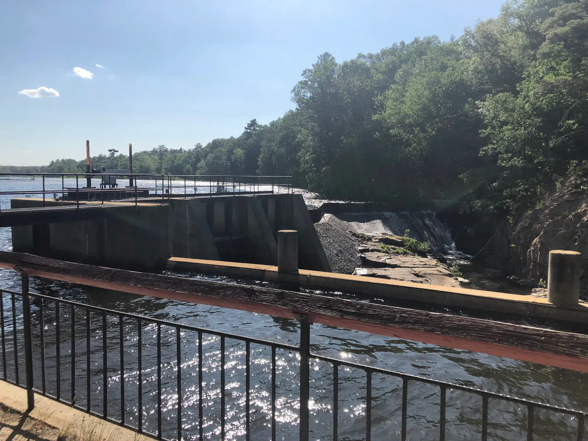
Photo C - Nashua, N.H., city staff (Anna McGinty and Justin Kates) organized a tour of the city, including Nashua’s Mine Falls Dam.
