The terrain along our northern border with Canada is vast and unique, and features a diverse array of geographical landscapes including the grasslands, prairies, and lowland plains of North Dakota and the mountains and badlands of Montana.
Safeguarding and securing the northern border against threats and illegal activities, such as human trafficking and smuggling of illicit drugs, presents unique challenges because of its various distinct landscapes and multiple points of entry into the country. Protecting such a wide stretch of terrain—and the airspace above it—is imperative to our homeland security and a top priority for those sworn to keep our borders secure.
The Department of Homeland Security (DHS) Science and Technology Directorate (S&T) and its National Urban Security Technology Laboratory (NUSTL) have been working with a coalition of partners (including U.S. Customs and Border Protection, U.S. Coast Guard, the Department of Defense, the Federal Aviation Administration, and industry) for more than a year on Air Domain Awareness (ADA) efforts, culminating with a series of technology demonstrations that kicked off in April 2021.
Hosted at select sites near the border, the tests and technology demonstrations are designed to evaluate cutting-edge radar systems, cameras (both infrared and electro-optical), radio frequency detection systems, and acoustic devices to determine how effectively each can monitor, safeguard, and secure our northern border and its surrounding terrains and airspace.
The first event took place over three weeks this spring at Camp Grafton in North Dakota. The photos below offer an exclusive look at the tests, the technologies, and the terrain in this beautiful slice of our northern border.

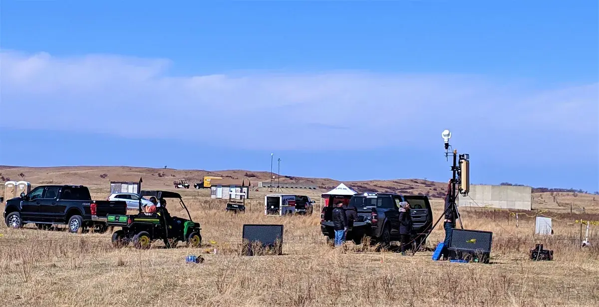
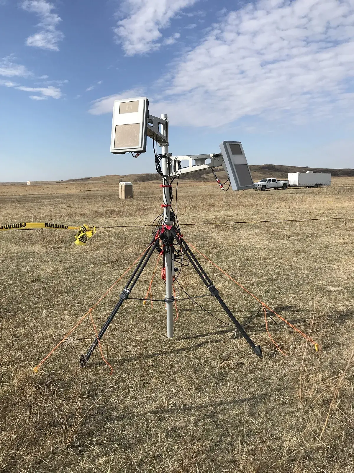
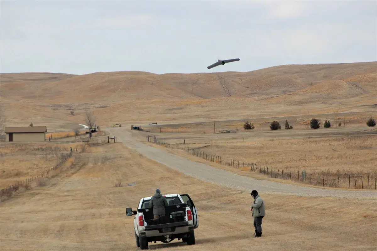
"I think we had some sensors out there that did a pretty good job,” said NUSTL engineer Teddy Damour. “We’ll keep at it and continue to put the systems through some rigorous operational scenarios."
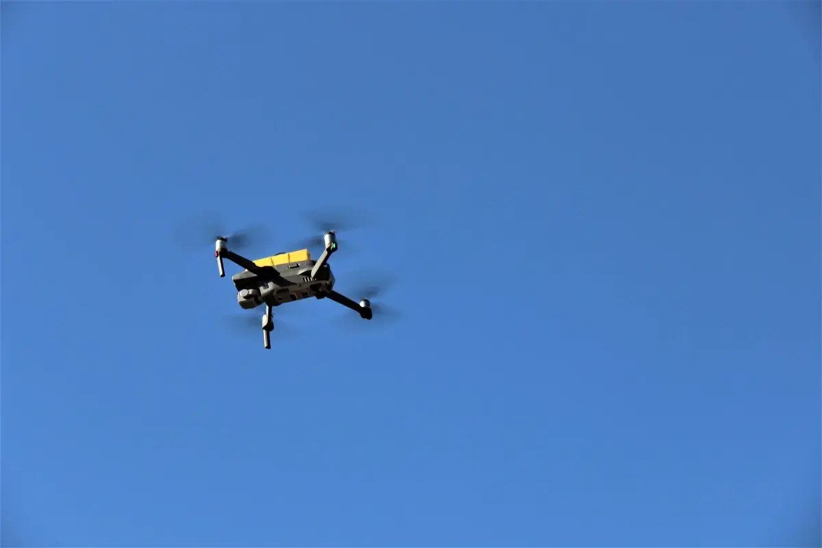
The aerial surveillance technologies that DHS eventually employs at the northern border will need to be able to detect everything that travels through this airspace. The rigorous testing conducted at Camp Grafton will help S&T to determine which of these tools will be suitable for preventing and responding to illegal activities at these crucial points-of-entry into the country.
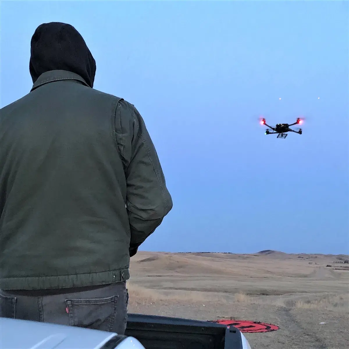
When it comes to real-life surveillance operations, UAS can be used by both federal agents and bad actors to gather photographic and topographical data and relay this valuable information to pilots and operators on the ground. S&T evaluated the potential use of UAS as a critical tool for securing and defending the plains regions from drug runners or human traffickers that traverse these areas by foot to cross into the U.S.
While the Camp Grafton ADA demonstrations are over, there is still much more work to do. The data collected and analyzed from these tests will provide a baseline of information about the selected tools and their capabilities and limitations when it comes to detecting aircrafts in the field. The data will soon be used to inform the upcoming ADA demonstrations in Limestone Hills, Montana (mountainous terrain), where the complex topographies and landscapes will pose significantly greater challenges for these surveillance systems and the operators using them.
Upon completion, S&T will share detailed test reports with federal agencies, organizations, and stakeholders looking to procure and implement ADA technologies at the northern border and other key points of entry around the country.
“With the testing and results from Camp Grafton, we now have a great baseline to compare the systems in more difficult environments and terrains like the mountains of Montana,” explained Bennett.
For media requests related to S&T’s Air Domain Awareness work, please contact STmedia@hq.dhs.gov.
